Center Loop - MassDOT Shared Streets and Spaces Grant Program
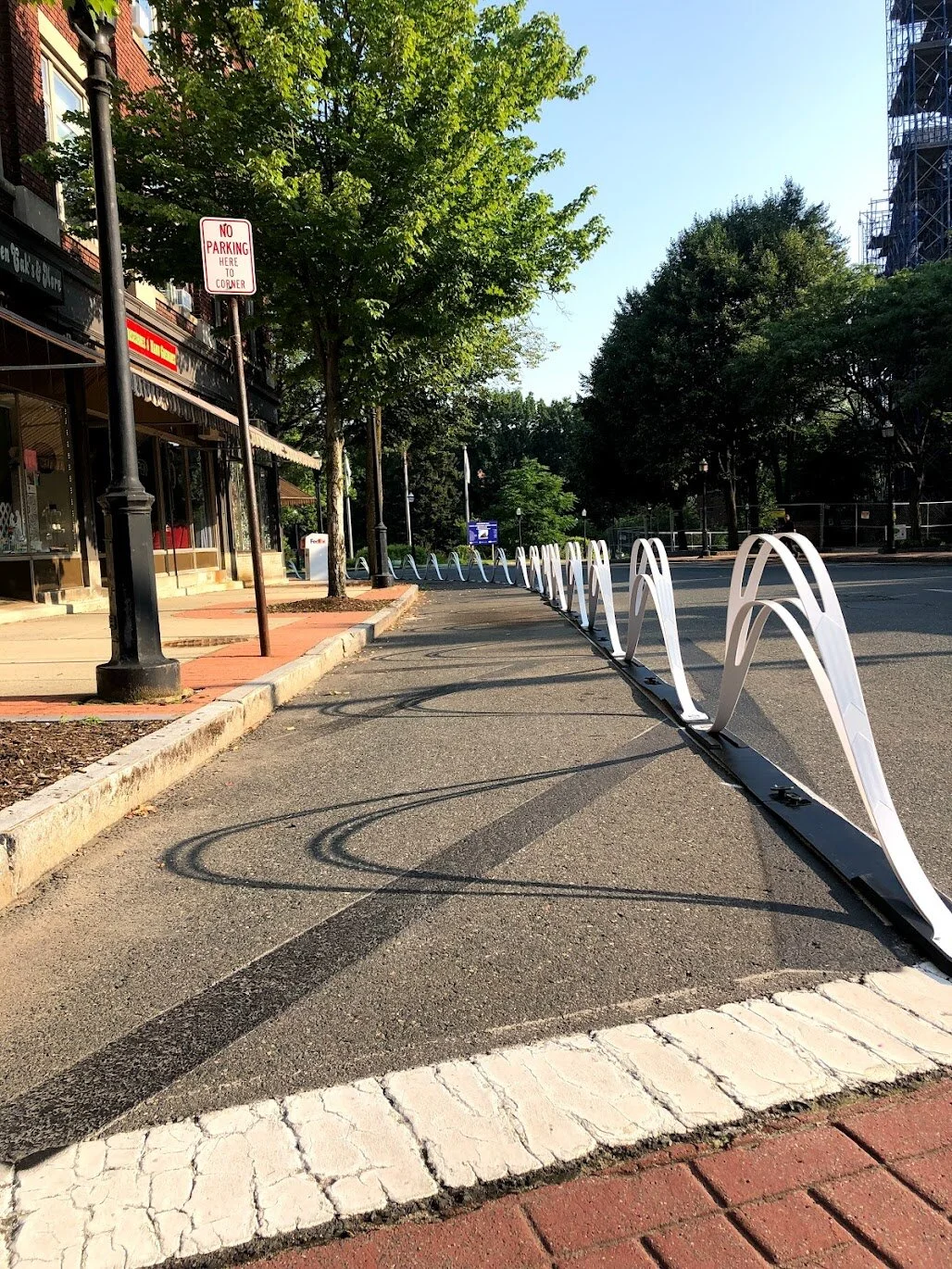
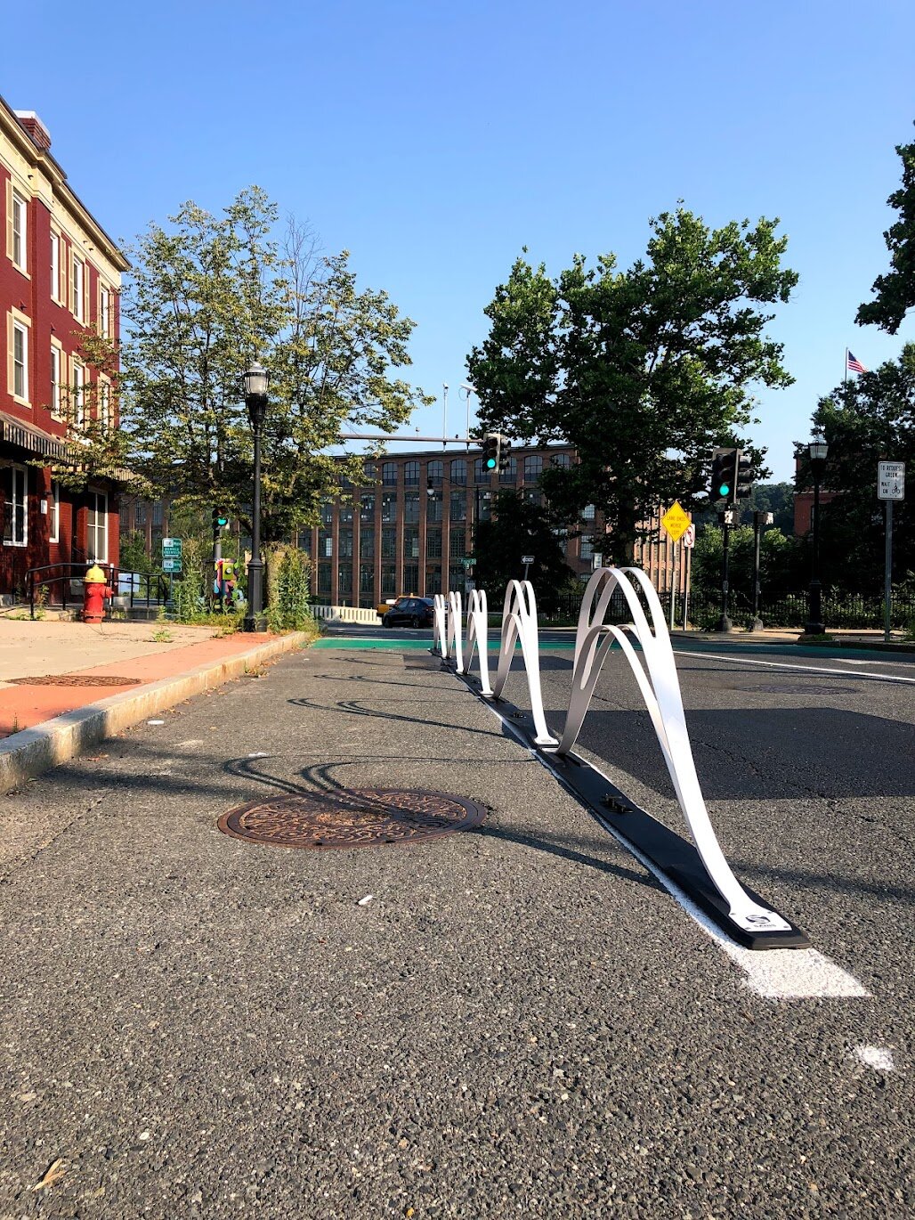
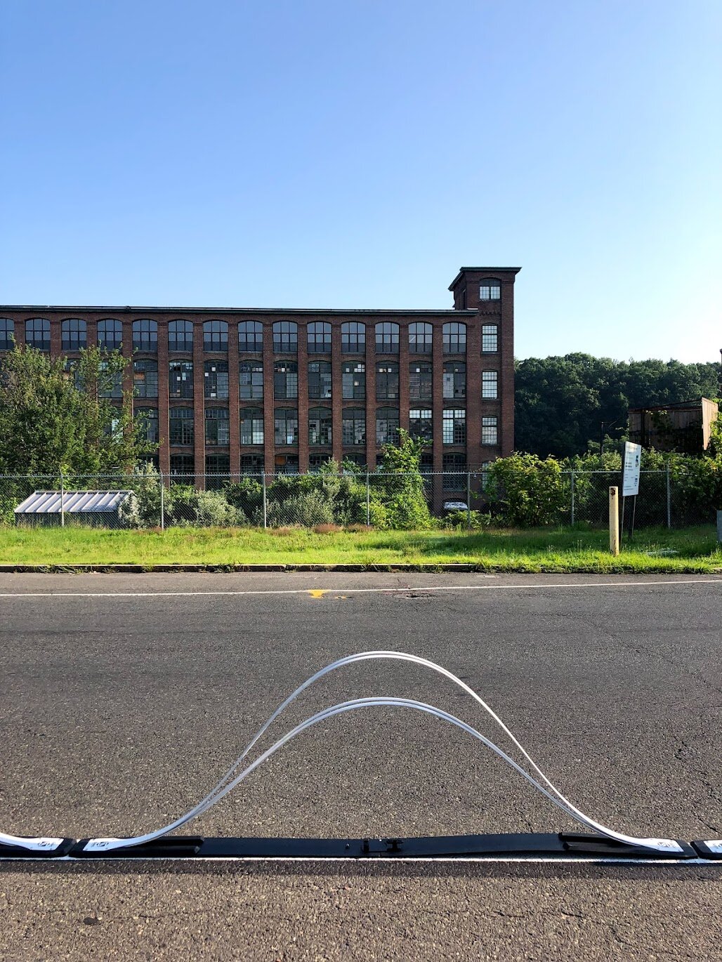
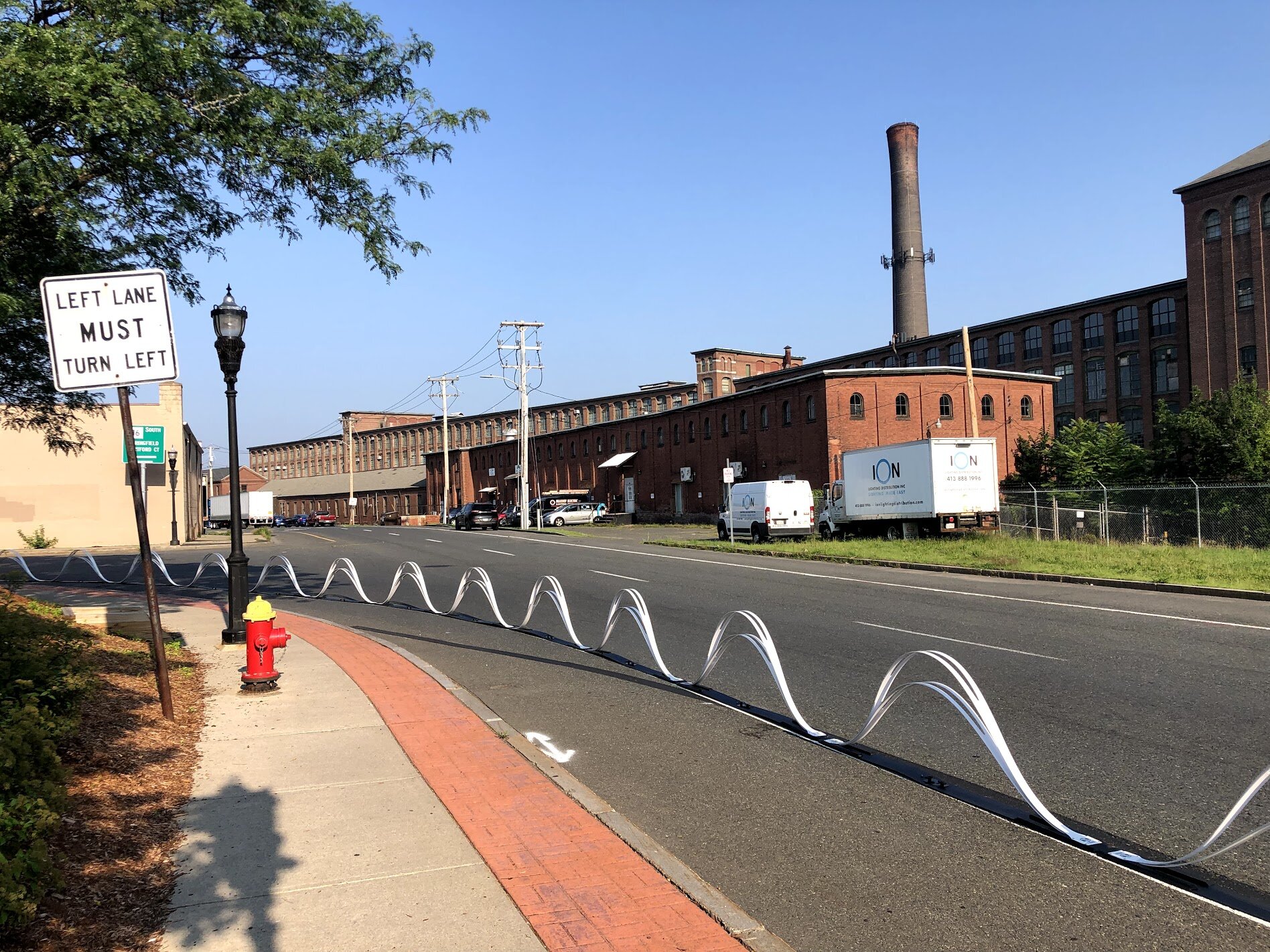
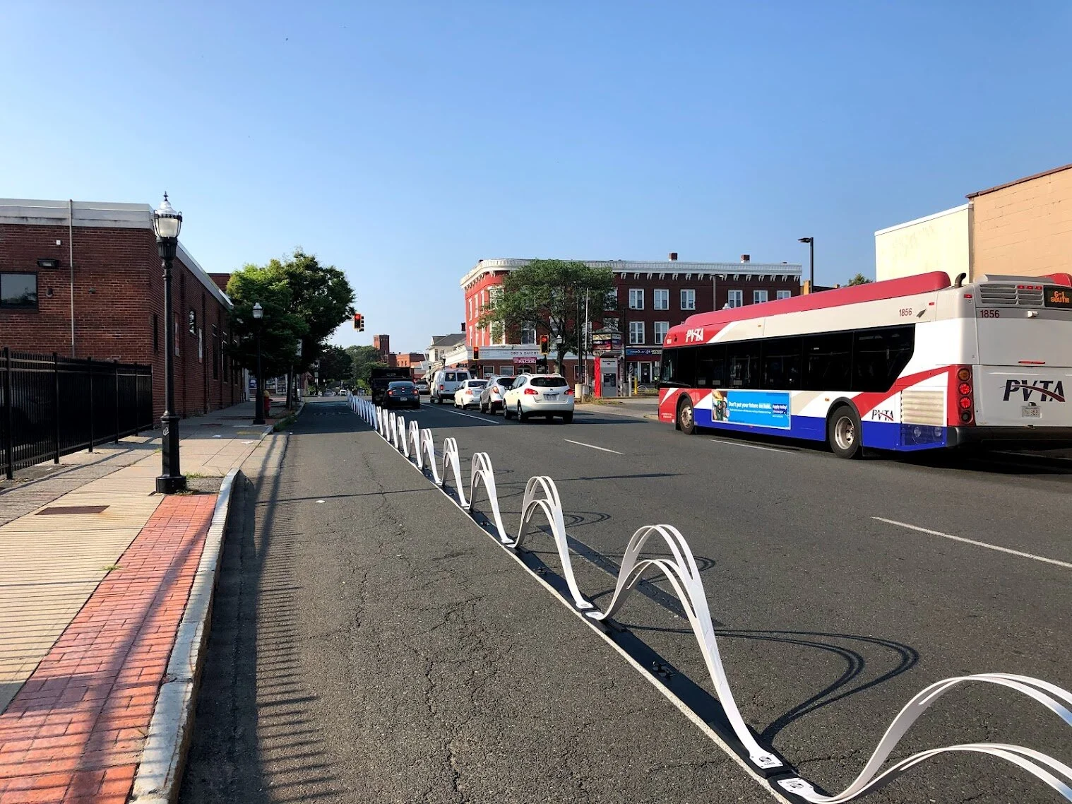
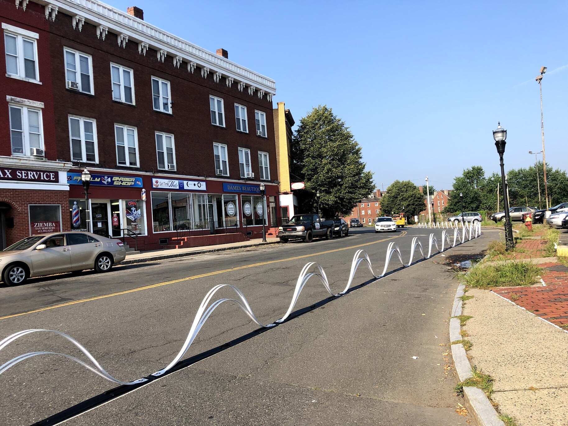
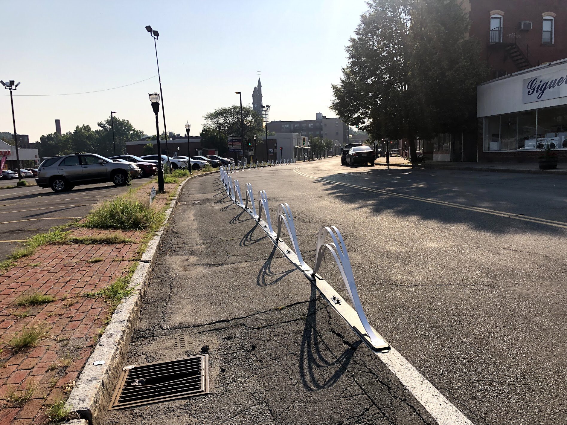
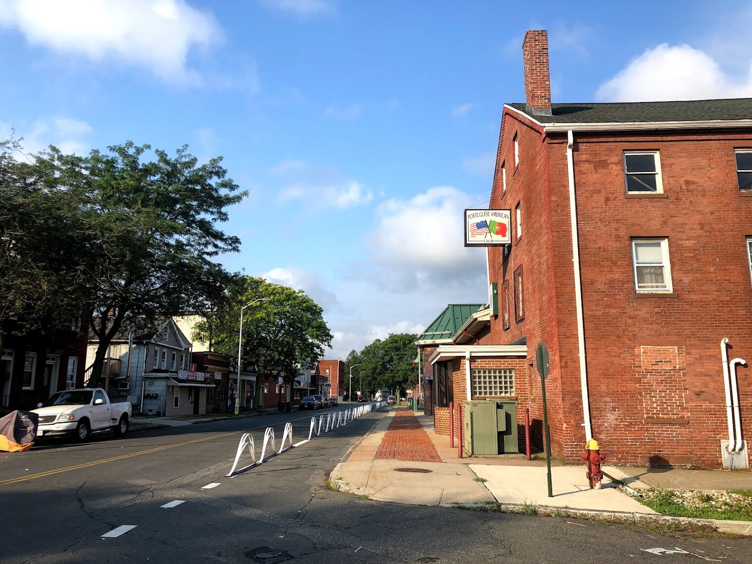
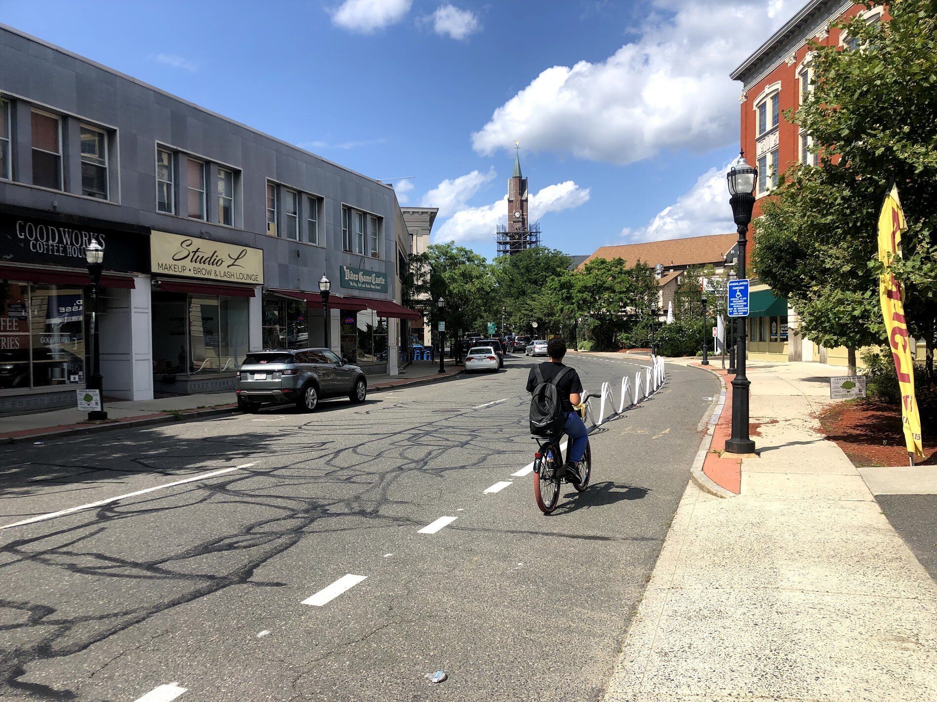
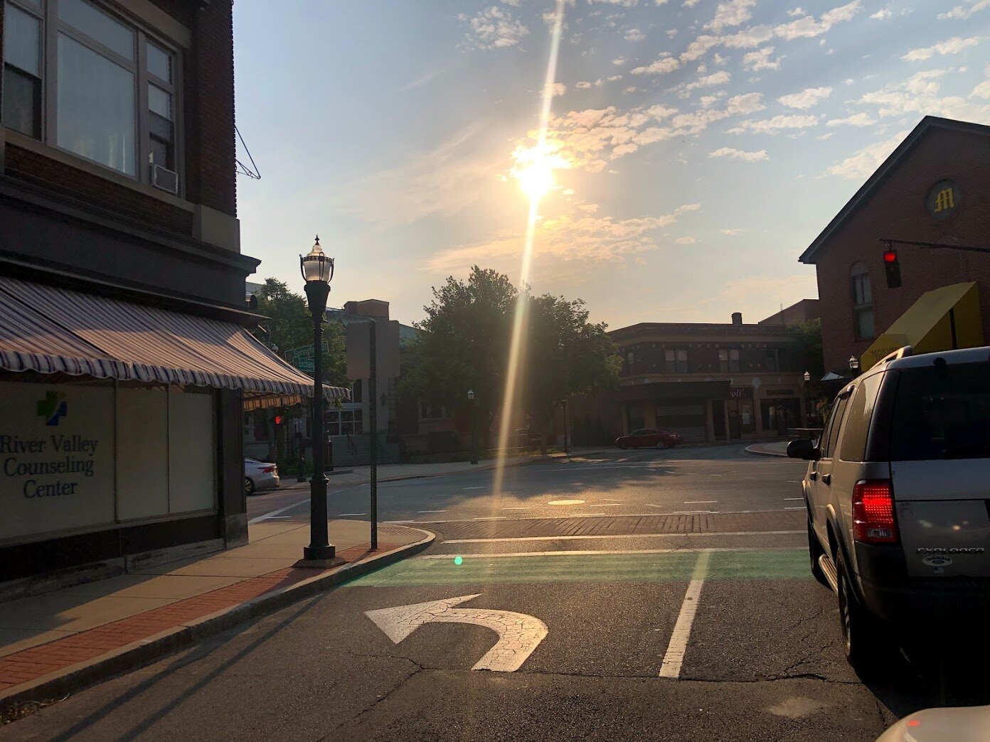
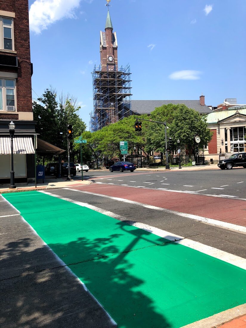
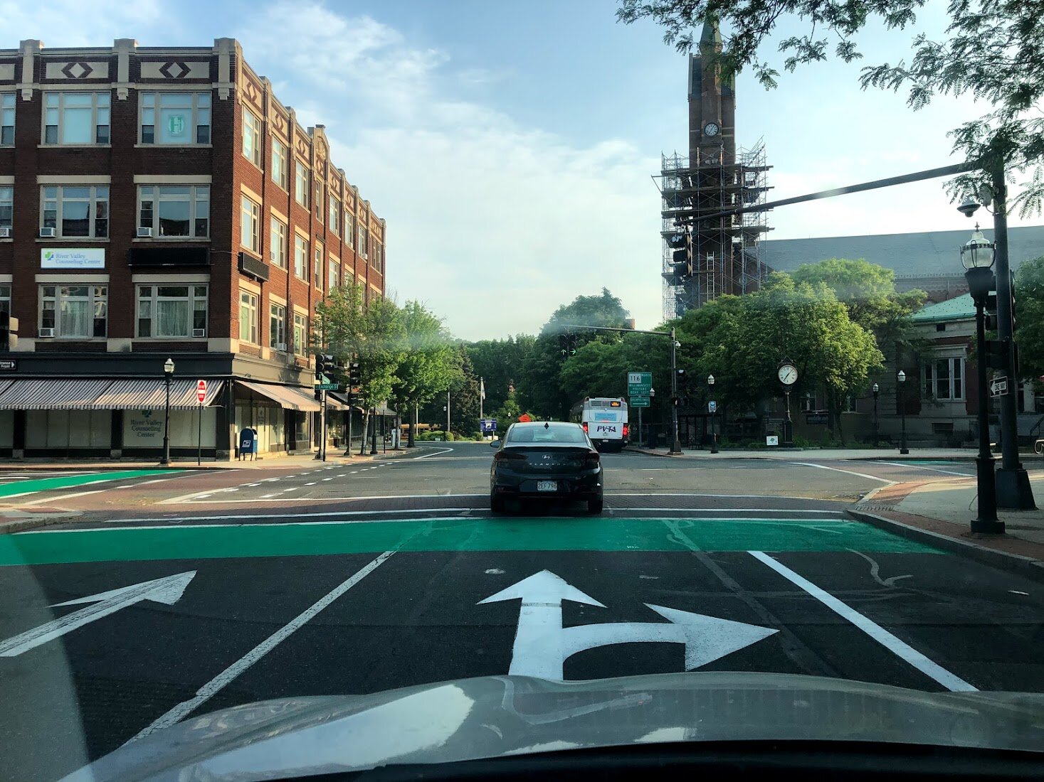
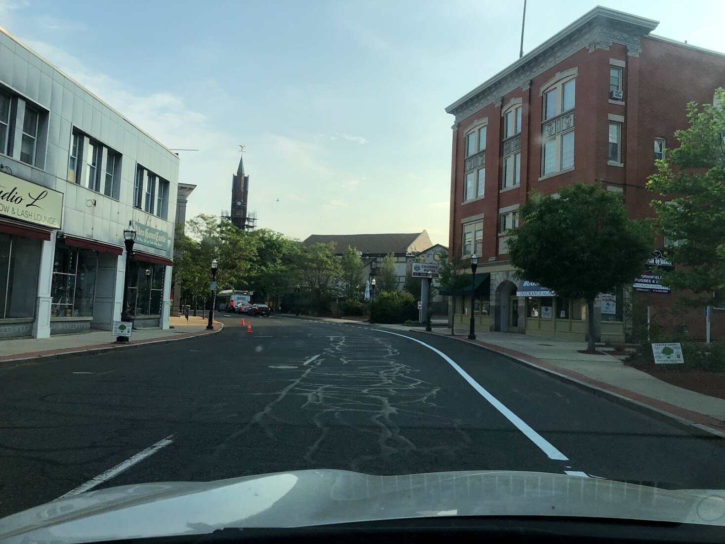
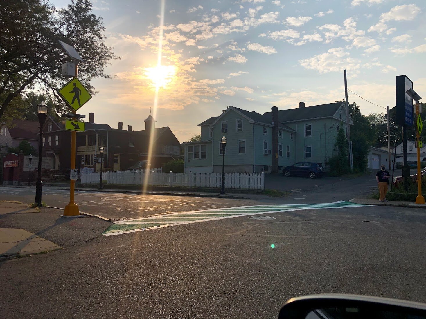
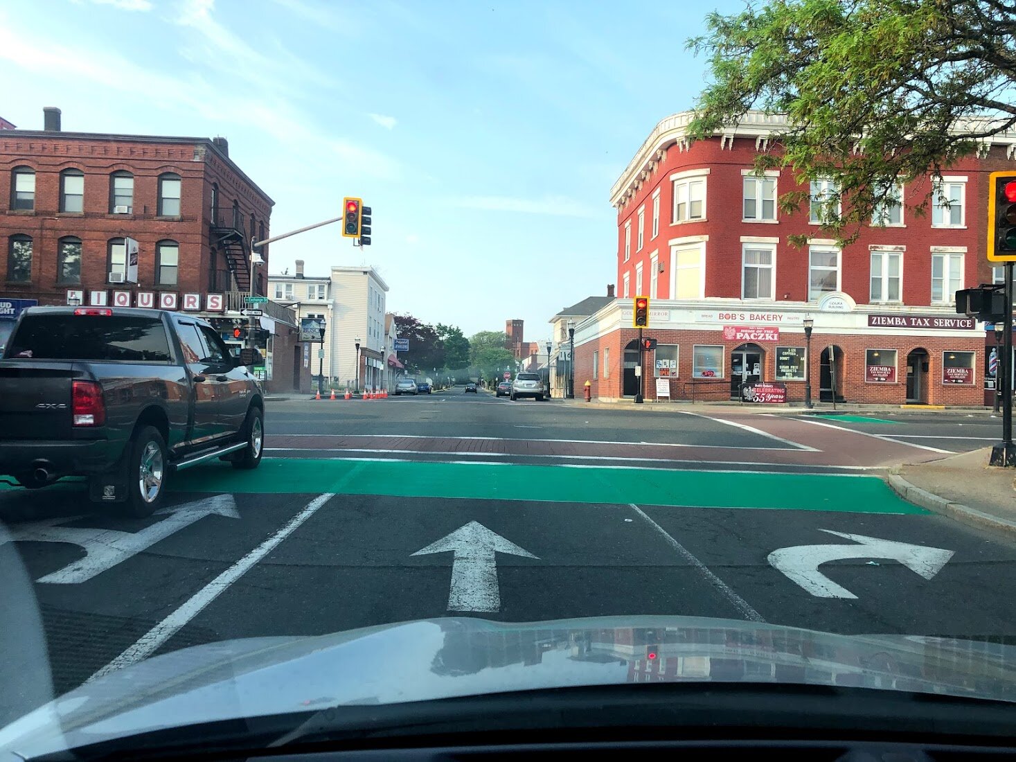
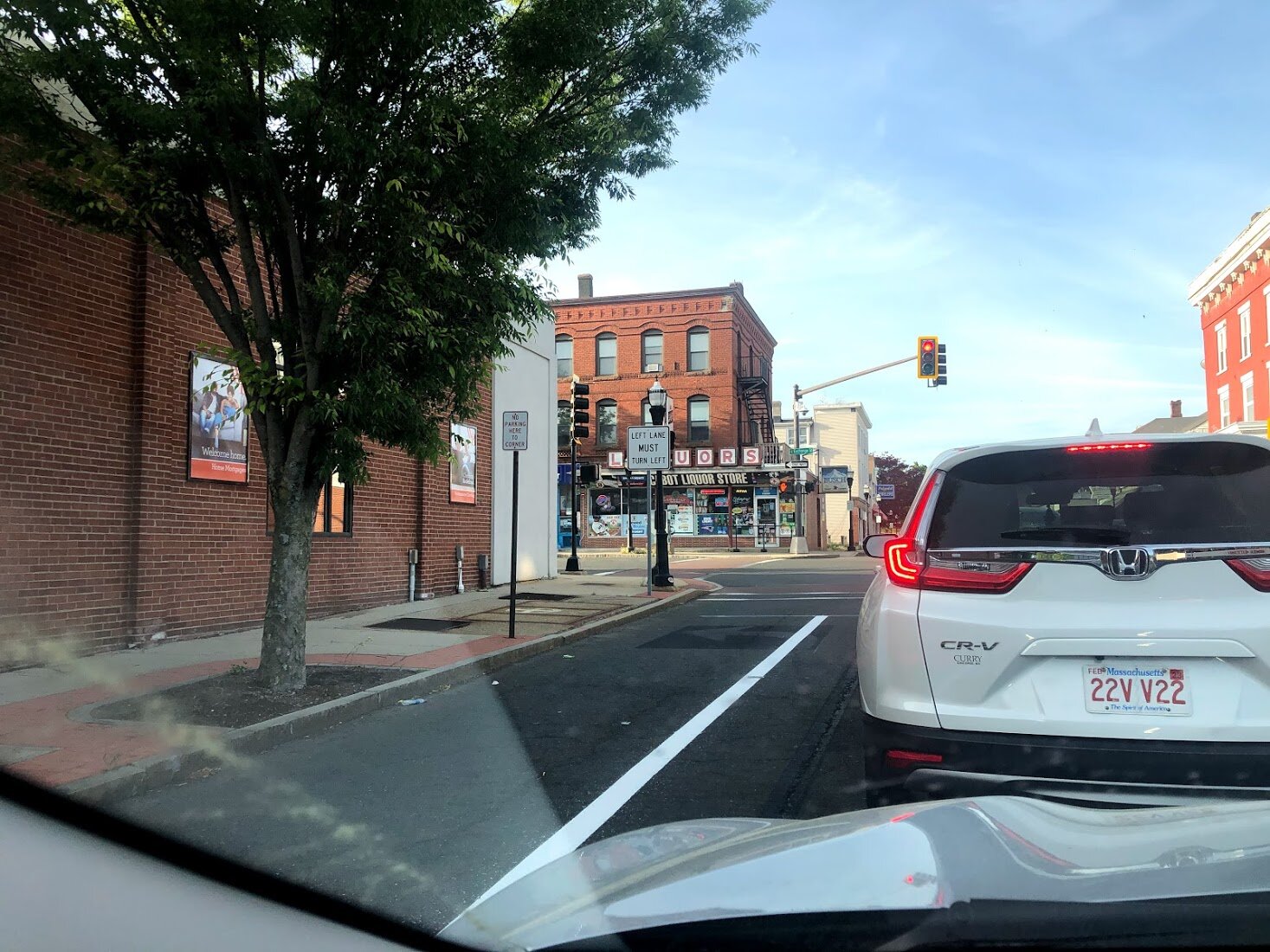
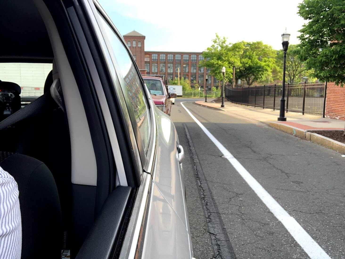
In June of 2021, Chicopee installed its first protected on-street mixed-use path throughout the Chicopee Center neighborhood. These mixed-use lanes will collectively be referred to as the ‘Center Loop’. The Center Loop is a temporary pilot project that aims to provide residents and visitors with increased connectivity to a variety of services and amenities. The streets comprising the route are heavily trafficked and include many popular businesses. In July of 2021, Saris Wave Delineators will be placed along the route completing this project.
This presentation was given to update stakeholders on the development and rollout of the project.
For more details on the Center Loop, refer to the maps below.
Map #1 is the GIS mapping of the Center Loop project and its components. This map was assembled by Michelle Santerre, Chicopee’s GIS Coordinator.
Map #2 is the much larger original plan for a protected mixed-use network in Chicopee Center. The Center Loop was identified as the most impactful transportation corridor to advance in the Shared Streets and Spaces grant proposal.